How to Optimize Prospecting Routes
Plan efficient prospecting trips using GIS, topo maps, and route optimization for maximum gold recovery.
Introduction
Efficient route planning maximizes your time on promising gravels while reducing fatigue and wasted travel. Combining GIS data, topo maps, and satellite imagery helps you scout access, identify targets, and sequence your stops.
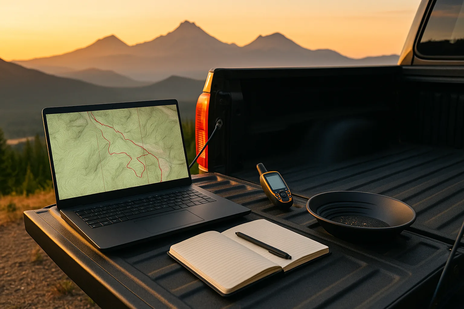
Equipment and Materials
- GPS device or smartphone with offline maps
- Topo maps (paper or digital), GIS software or apps
- Notebook for waypoints and notes
Step-by-Step Instructions
1) Study maps and identify target zones
Review known producing areas, historical claims, and creek morphology using layers for geology, access roads, and land status.
2) Identify access points and restrictions
Locate trailheads, parking, and verify land status (BLM, Forest Service, private). Note seasonal closures and permit requirements.
3) Plan logistics and timing
Sequence stops by proximity; estimate drive and hike times. Consider water levels, weather, and daylight hours.
4) Mark waypoints and create backup plans
Save GPS coordinates for key sites and alternates. Download offline maps and share your route with someone.
Pro Tips
- Use satellite imagery to preview gravel bars and bedrock exposure before driving.
- Cluster sites to minimize backtracking and fuel costs.
- Check recent trip reports and local forums for current conditions.
- Visit proven locations like Quartzville Creek, Galice Creek, and Applegate River.
Common Mistakes
- Underestimating drive times on rough forest roads.
- Ignoring land status and trespassing on closed ground.
- Over-planning with too many distant stops in one day.
Troubleshooting
If a site is inaccessible (washout, closure), refer to your backup list and reroute. Always have 2-3 alternate targets marked.
FAQ
Best GIS tools? CalTopo, Gaia GPS, and Google Earth are popular among prospectors.
Do I need cell service? No—download offline maps and carry paper backups.
How detailed? Mark access, parking, and specific gravel bars or bedrock zones to save field time.
Conclusion
Smart route planning turns a scattered trip into a focused campaign, maximizing gold recovery and enjoyment. With proper prep, you'll spend more time panning and less time searching for access.
Related guides: Pack Prospecting Gear · Read River Morphology · Evaluate and Stake a Claim