How to Evaluate and Stake a Claim
Research, survey, and file mining claims properly: BLM procedures, marking corners, and documentation.
Introduction
Proper claim evaluation and filing protect your work and define your rights. This guide covers research, field survey, and required paperwork.
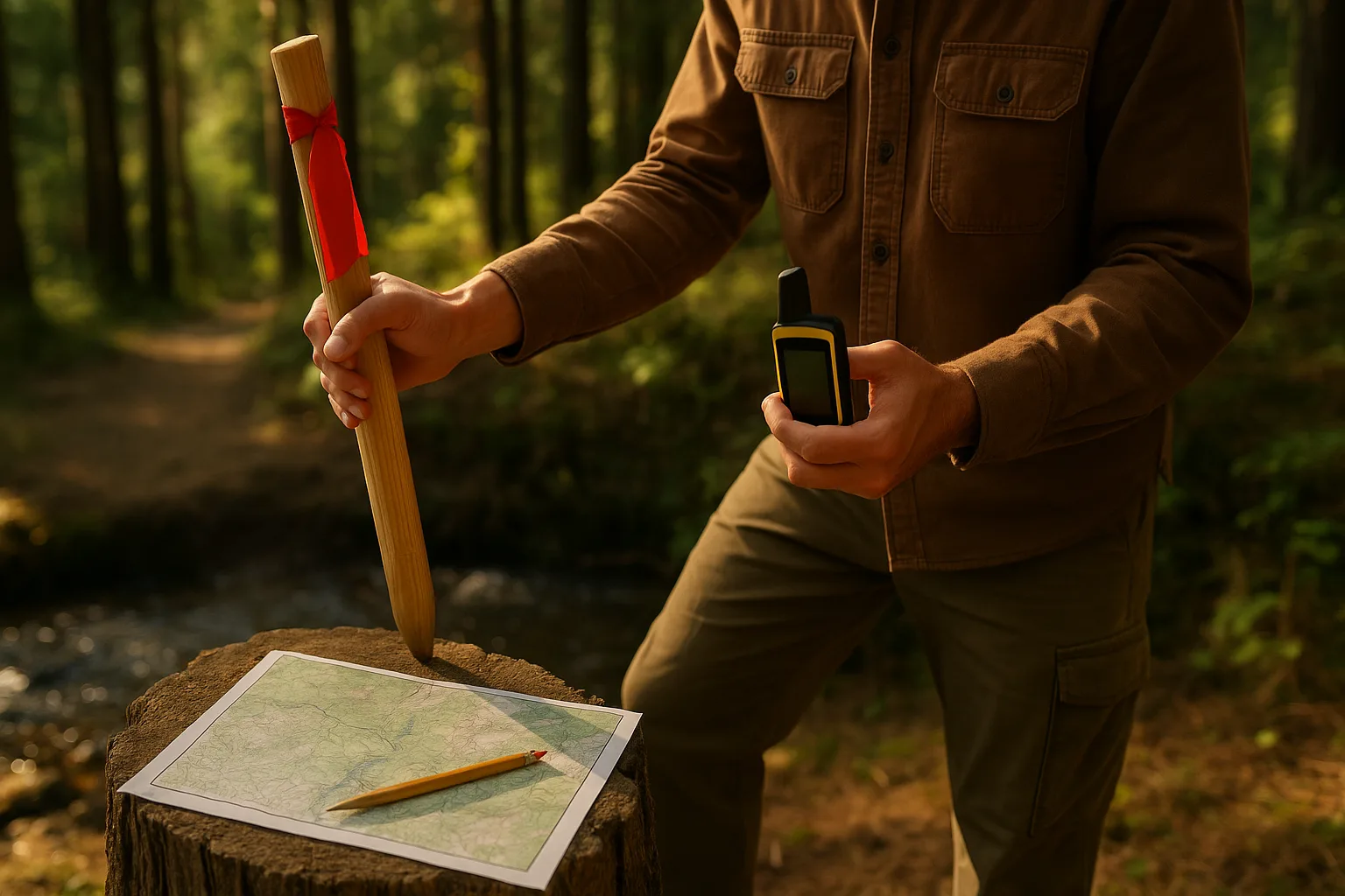
Equipment and Materials
- GPS, topo maps, posts/markers
- Legal forms and guides from BLM/state
Step-by-Step Instructions
1) Research land status
Verify open ground and withdrawals; review past production and current claims.
2) Survey boundaries
Walk and mark corners per regulations; collect GPS points and notes.
3) Prepare and file paperwork
Complete location notices, maps, and pay required fees on time.
4) Post and maintain markers
Install durable markers and maintain visibility per local rules.
Pro Tips
- Document with photos and keep duplicate records off-site.
- Consult local regulations for corner monument standards.
- Map access routes and note seasonal constraints.
Common Mistakes
- Misreading land status and filing on closed ground.
- Missing deadlines on filings or annual fees.
- Vague maps that cause boundary disputes.
Troubleshooting
If your filing is rejected, review deficiencies noted by the office and correct promptly; consult a local club or legal resource.
FAQ
Do I need a surveyor? Not required in most cases but helpful for accuracy.
Where do I file? Typically with county and BLM; verify for your area.
Conclusion
Careful research and documentation ensure your claim is valid and defensible.
Related guides: Optimize Prospecting Routes · Read River Morphology